 |
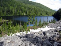
|
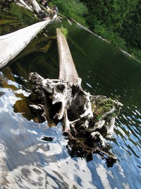
Talapus Lake adjusted(jpg)
Google GeoTrack Maps Earth (.kmz) Nearby Pictures
Sun 09/20/09
 |
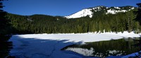
|
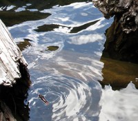
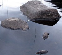
Talapus Lake water(jpg)
Google GeoTrack Maps Earth (.kmz) Nearby Pictures
Sun 09/20/09
 |
|
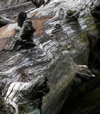
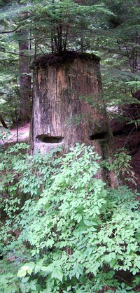
Talapus Lake log(jpg)
Google GeoTrack Maps Earth (.kmz) Nearby Pictures
Sun 09/20/09
 |
|
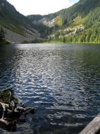
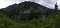
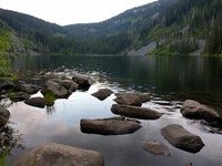
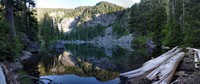
Talapus Lake(jpg)
Google GeoTrack Maps Earth (.kmz) Nearby Pictures
Sun 09/20/09
 |
|
Talapus Lake(jpg)
Google GeoTrack Maps Earth (.kmz) Nearby Pictures
Sun 07/10/11
 |
|
Olallie Lake(jpg)
Google GeoTrack Maps Earth (.kmz) Nearby Pictures
Fri 05/08/20
 |
|
a lake in May(jpg)
Google GeoTrack Maps Earth (.kmz) Nearby Pictures
Fri 05/08/20
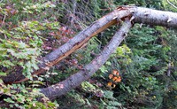 |
|
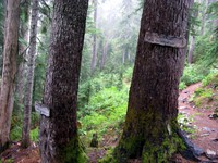
tree on Pratt Mountain trail(jpg)
Google GeoTrack Maps Earth (.kmz) Nearby Pictures
Sun 09/20/09
 |
|
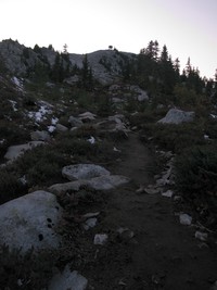
Talapus Lake from Pratt Mountain trail(jpg)
Google GeoTrack Maps Earth (.kmz) Nearby Pictures
Sun 09/20/09
 |
|
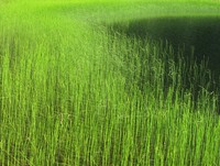
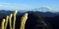
Olallie Lake grass(jpg)
Google GeoTrack Maps Earth (.kmz) Nearby Pictures
Sun 09/20/09
 |
|
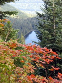
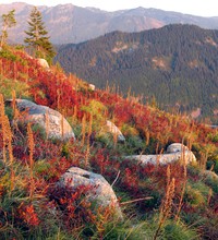
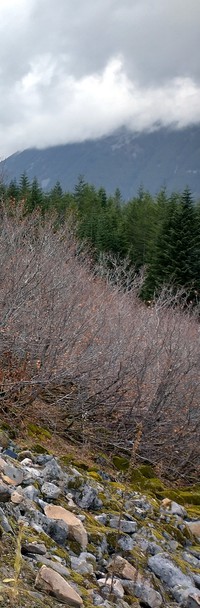
cancerous fall colors(jpg)
Google GeoTrack Maps Earth (.kmz) Nearby Pictures
Sun 09/20/09
 |
|
Olallie Lake(jpg)
Google GeoTrack Maps Earth (.kmz) Nearby Pictures
Fri 07/01/11
 |
|
Pratt Lake(jpg)
Google GeoTrack Maps Earth (.kmz) Nearby Pictures
Thu 07/16/20
 |
|
I say James do drive on(jpg)
Google GeoTrack Maps Earth (.kmz) Nearby Pictures
Wed 07/29/09
 |
|
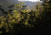
where you least expect it(jpg)
Google GeoTrack Maps Earth (.kmz) Nearby Pictures
Thu 06/18/20
 |
|
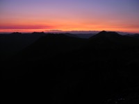
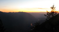
Granite Mountain sunset(jpg)
Google GeoTrack Maps Earth (.kmz) Nearby Pictures
Sun 10/04/09
 |
|
Pratt Lake(jpg)
Google GeoTrack Maps Earth (.kmz) Nearby Pictures
Thu 07/16/20
 |
|
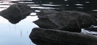
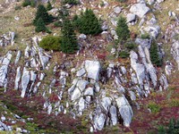
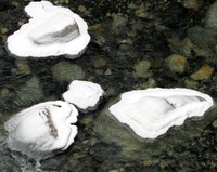
Pratt Lake rocks(jpg)
Google GeoTrack Maps Earth (.kmz) Nearby Pictures
Thu 07/16/20
 |
|
Pratt Lake rocks(jpg)
Google GeoTrack Maps Earth (.kmz) Nearby Pictures
Thu 07/16/20
 |
|
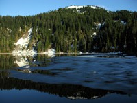
Mason Lake(jpg)
Google GeoTrack Maps Earth (.kmz) Nearby Pictures
Sat 07/10/10
 |
|
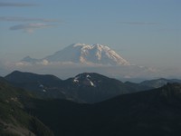
Mt Rainier from Bandera Mountain(jpg)
Google GeoTrack Maps Earth (.kmz) Nearby Pictures
Sun 07/25/10
 |
|
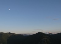
Mt Moondier(jpg)
Google GeoTrack Maps Earth (.kmz) Nearby Pictures
Sun 07/10/11
 |
|
I90 sunset from Mason Lake Trail(jpg)
Google GeoTrack Maps Earth (.kmz) Nearby Pictures
Sat 07/10/10
 |
|
Mason Lake(jpg)
Google GeoTrack Maps Earth (.kmz) Nearby Pictures
Sun 07/10/11
 |
|
Granite Mountain trail(jpg)
Google GeoTrack Maps Earth (.kmz) Nearby Pictures
Sun 10/04/09
 |
|
floating Mt Rainier(jpg)
Google GeoTrack Maps Earth (.kmz) Nearby Pictures
Sun 07/10/11
 |
|
Granite Mountain trail(jpg)
Google GeoTrack Maps Earth (.kmz) Nearby Pictures
Sun 10/04/09
 |
|
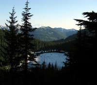
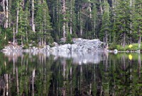
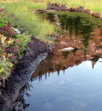
Granite Mountain pond(jpg)
Google GeoTrack Maps Earth (.kmz) Nearby Pictures
Sun 10/04/09
 |
|
Granite Mountain trail(jpg)
Google GeoTrack Maps Earth (.kmz) Nearby Pictures
Sun 10/04/09
 |
|
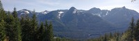
hills south of I90 from Ira Springs Trail(jpg)
Google GeoTrack Maps Earth (.kmz) Nearby Pictures
Sat 05/15/21
 |
|
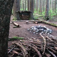
medicine man behind the bush(jpg)
Google GeoTrack Maps Earth (.kmz) Nearby Pictures
Sat 08/18/07
 |
|
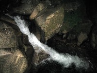
Humpback Creek at night(jpg)
Google GeoTrack Maps Earth (.kmz) Nearby Pictures
Wed 07/29/09
 |
|
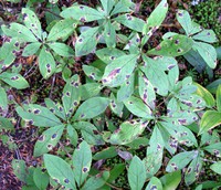
Five stripes(jpg)
Google GeoTrack Maps Earth (.kmz) Nearby Pictures
Fri 10/30/20
 |
|
Melakwa Lake Tuscohatchie Lake trail junction(jpg)
Google GeoTrack Maps Earth (.kmz) Nearby Pictures
Sun 09/25/11
 |
|
up some hill south of i90(jpg)
Google GeoTrack Maps Earth (.kmz) Nearby Pictures
Sat 07/28/07
 |
|
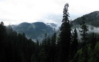
hills and clouds from Denny Creek trail(jpg)
Google GeoTrack Maps Earth (.kmz) Nearby Pictures
Sun 09/25/11
 |
|
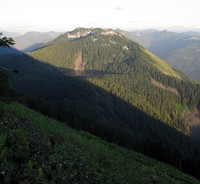
Bandara Mountain and Mason Lake from Mt Defiance(jpg)
Google GeoTrack Maps Earth (.kmz) Nearby Pictures
Sat 07/10/10
 |
|
Rainy Lake(jpg)
Google GeoTrack Maps Earth (.kmz) Nearby Pictures
Sat 07/14/18
 |
|
snowy rocks in snoqualmie river(jpg)
Google GeoTrack Maps Earth (.kmz) Nearby Pictures
Sun 01/25/09
 |
|
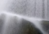
waterfall video(jpg)
Google GeoTrack Maps Earth (.kmz) Nearby Pictures
Sat 05/15/21