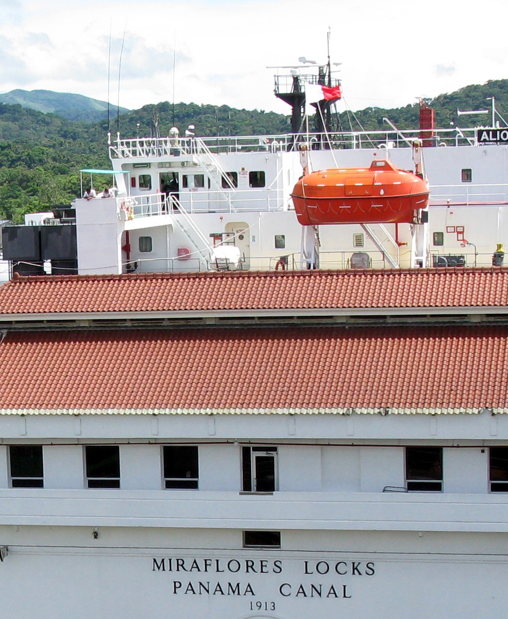
misleading ship behind Miraflores Locks(jpg)
Google GeoTrack
Maps
Earth (.kmz)
Nearby Pictures
Thu 06/03/10 lat=8.997206 lon=-79.591106 --- 8 59' 49.940" N 79 35' 27.980" W --- 46 meters : 150 feet
Previous
Next
Close-ish
All Pictures