 |
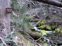
|
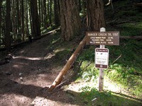
Ranger Creek trail sign(jpg)
Google GeoTrack Maps Earth (.kmz) Nearby Pictures
Sat 03/30/13
 |
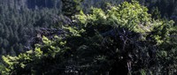
|
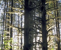
Ranger Creek tree(jpg)
Google GeoTrack Maps Earth (.kmz) Nearby Pictures
Sat 03/30/13
 |
|
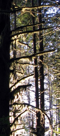
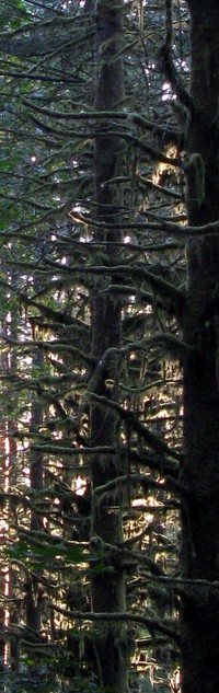
Ranger Creek tree(jpg)
Google GeoTrack Maps Earth (.kmz) Nearby Pictures
Sat 03/30/13
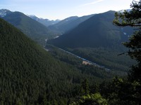 |
|
Ranger Creek overlook(jpg)
Google GeoTrack Maps Earth (.kmz) Nearby Pictures
Sat 03/30/13
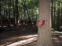 |
|
Ranger Creek trail sign(jpg)
Google GeoTrack Maps Earth (.kmz) Nearby Pictures
Sat 03/30/13
 |
|
Ranger Creek trail sign(jpg)
Google GeoTrack Maps Earth (.kmz) Nearby Pictures
Sat 03/30/13
 |
|
Ranger Creek trailhead sign(jpg)
Google GeoTrack Maps Earth (.kmz) Nearby Pictures
Sat 03/30/13
 |
|
Lingering Trail Dwights Way Trail(jpg)
Google GeoTrack Maps Earth (.kmz) Nearby Pictures
Sat 03/23/13
 |
|
High Point Preston Trail(jpg)
Google GeoTrack Maps Earth (.kmz) Nearby Pictures
Sat 03/23/13
 |
|
High Point Preston Trail(jpg)
Google GeoTrack Maps Earth (.kmz) Nearby Pictures
Sat 03/23/13
 |
|
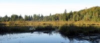
High Point water(jpg)
Google GeoTrack Maps Earth (.kmz) Nearby Pictures
Sat 03/23/13
 |
|
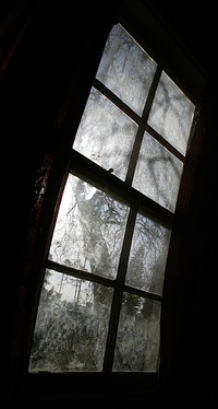
Muriel window(jpg)
Thu 01/10/13
 |
|
tree part sunset(jpg)
Google GeoTrack Maps Earth (.kmz) Nearby Pictures
Sun 10/07/12
 |
|
tree part sunset(jpg)
Google GeoTrack Maps Earth (.kmz) Nearby Pictures
Sun 10/07/12
 |
|
tree part sunset(jpg)
Google GeoTrack Maps Earth (.kmz) Nearby Pictures
Sun 10/07/12
 |
|
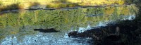
Moss Lake(jpg)
Google GeoTrack Maps Earth (.kmz) Nearby Pictures
Sun 10/07/12
 |
|
Moss Lake(jpg)
Google GeoTrack Maps Earth (.kmz) Nearby Pictures
Sun 10/07/12
 |
|
segment of a view(jpg)
Google GeoTrack Maps Earth (.kmz) Nearby Pictures
Sun 09/02/12
 |
|
segment of a view(jpg)
Google GeoTrack Maps Earth (.kmz) Nearby Pictures
Sun 09/02/12
 |
|
tree around(jpg)
Google GeoTrack Maps Earth (.kmz) Nearby Pictures
Sun 09/02/12