 |
|
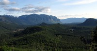
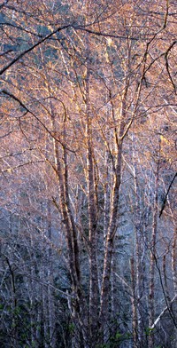
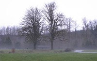
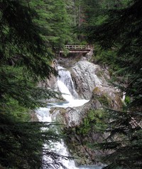
North Fork Snoqualmie(jpg)
Google GeoTrack Maps Earth (.kmz) Nearby Pictures
Sun 05/11/14
 |
|
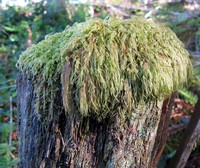
mossy pattern(jpg)
Google GeoTrack Maps Earth (.kmz) Nearby Pictures
Sun 05/11/14
 |
|
Mt Si from far away hill(jpg)
Google GeoTrack Maps Earth (.kmz) Nearby Pictures
Sun 05/11/14
 |
|
Mossy Mop Top(jpg)
Google GeoTrack Maps Earth (.kmz) Nearby Pictures
Sun 05/11/14
 |
|
towel rack(jpg)
Wed 04/16/14
 |
|
towel rack(jpg)
Wed 04/16/14
 |
|
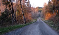
tiger mtn road(jpg)
Google GeoTrack Maps Earth (.kmz) Nearby Pictures
Sat 04/12/14
 |
|
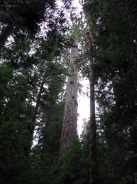
tiger mtn trees(jpg)
Google GeoTrack Maps Earth (.kmz) Nearby Pictures
Sat 04/12/14
 |
|
ambiguous sign(jpg)
Google Maps Earth (.kmz) Nearby Pictures
Fri 03/21/14
 |
|
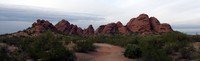
Parago Park Big Butte(jpg)
Google GeoTrack Maps Earth (.kmz) Nearby Pictures
Thu 01/30/14
 |
|
MikeO Puncheon Bridge(jpg)
Google GeoTrack Maps Earth (.kmz) Nearby Pictures
Wed 12/25/13
 |
|
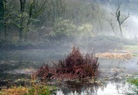
Flaming Geyser pond(jpg)
Google GeoTrack Maps Earth (.kmz) Nearby Pictures
Sat 11/30/13
 |
|
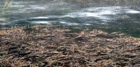
Flaming Geyser pond(jpg)
Google GeoTrack Maps Earth (.kmz) Nearby Pictures
Sat 11/30/13
 |
|
Flaming Geyser trees(jpg)
Google GeoTrack Maps Earth (.kmz) Nearby Pictures
Sat 11/30/13
 |
|
Flaming Geyser picnic table(jpg)
Google GeoTrack Maps Earth (.kmz) Nearby Pictures
Sat 11/30/13
 |
|
Jones Lake Black Diamond(jpg)
Google GeoTrack Maps Earth (.kmz) Nearby Pictures
Sat 11/30/13
 |
|
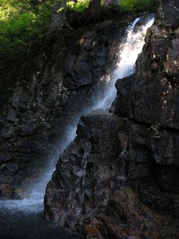
falls down from Crater Lake up from Money Creek(jpg)
Google GeoTrack Maps Earth (.kmz) Nearby Pictures
Sun 09/01/13
 |
|
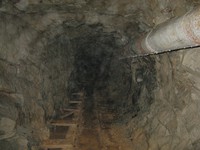
Damon Mine(jpg)
Google GeoTrack Maps Earth (.kmz) Nearby Pictures
Sun 09/01/13
 |
|
Eastside Trail trees(jpg)
Google GeoTrack Maps Earth (.kmz) Nearby Pictures
Sun 08/25/13
 |
|
Eastside Trail best bridge and falls(jpg)
Google GeoTrack Maps Earth (.kmz) Nearby Pictures
Sun 08/25/13