 |
|
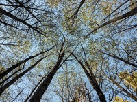
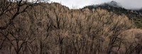
Greenwater River Trail trees(jpg)
Google GeoTrack Maps Earth (.kmz) Nearby Pictures
Sun 05/16/21
 |
|
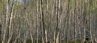
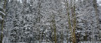
Greenwater River Trail trees(jpg)
Google GeoTrack Maps Earth (.kmz) Nearby Pictures
Sun 05/16/21
 |
|
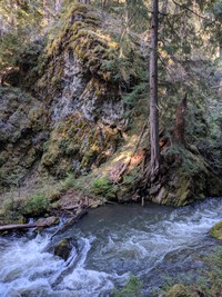
Greenwater River(jpg)
Google GeoTrack Maps Earth (.kmz) Nearby Pictures
Sun 05/16/21
 |
|
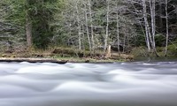
Greenwater River trees video(jpg)
Google GeoTrack Maps Earth (.kmz) Nearby Pictures
Sun 05/16/21
 |
|
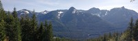
hills south of I90 from Ira Springs Trail(jpg)
Google GeoTrack Maps Earth (.kmz) Nearby Pictures
Sat 05/15/21
 |
|
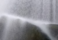
waterfall video(jpg)
Google GeoTrack Maps Earth (.kmz) Nearby Pictures
Sat 05/15/21
 |
|
Hells Canyon tree(jpg)
Google GeoTrack Maps Earth (.kmz) Nearby Pictures
Tue 04/27/21
 |
|
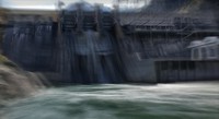
Hells Canyon Dam 03 warped over time(jpg)
Google GeoTrack Maps Earth (.kmz) Nearby Pictures
Tue 04/27/21
 |
|
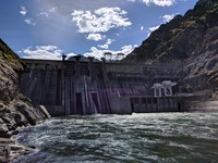
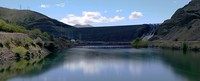
Hells Canyon Dam(jpg)
Google GeoTrack Maps Earth (.kmz) Nearby Pictures
Tue 04/27/21
 |
|
Deep Creek Trail(jpg)
Google GeoTrack Maps Earth (.kmz) Nearby Pictures
Tue 04/27/21
 |
|
Snake River below Brownlee Dam 01 over time(jpg)
Google GeoTrack Maps Earth (.kmz) Nearby Pictures
Tue 04/27/21
 |
|
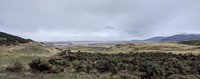
Promontory vista(jpg)
Google GeoTrack Maps Earth (.kmz) Nearby Pictures
Mon 04/26/21
 |
|
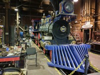
Jupitor at Promontory(jpg)
Google GeoTrack Maps Earth (.kmz) Nearby Pictures
Mon 04/26/21
 |
|
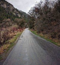
Utah road(jpg)
Google GeoTrack Maps Earth (.kmz) Nearby Pictures
Mon 04/26/21
 |
|
Utah trees(jpg)
Google GeoTrack Maps Earth (.kmz) Nearby Pictures
Mon 04/26/21
 |
|
Utah trees(jpg)
Google GeoTrack Maps Earth (.kmz) Nearby Pictures
Mon 04/26/21
Bear Lake Utah(jpg)
Google GeoTrack Maps Earth (.kmz) Nearby Pictures
Mon 04/26/21
 |
|
Red Canyon trees(jpg)
Google Maps Earth (.kmz) Nearby Pictures
Sun 04/25/21
 |
|
Josie Morris pond(jpg)
Google GeoTrack Maps Earth (.kmz) Nearby Pictures
Sun 04/25/21
 |
|
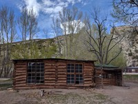
Josie Morris cabin(jpg)
Google GeoTrack Maps Earth (.kmz) Nearby Pictures
Sun 04/25/21