 |
|
snowy day(jpg)
Mon 02/27/17
 |
|
tday 2016 Harper(jpg)
Thu 11/24/16
 |
|
tday 2016 Zizi(jpg)
Thu 11/24/16
 |
|
tday 2016 girls on the stairs(jpg)
Thu 11/24/16
 |
|
tday 2016 Zoey(jpg)
Thu 11/24/16
 |
|
sunset on Middle Fork hills(jpg)
Google GeoTrack Maps Earth (.kmz) Nearby Pictures
Sat 10/29/16
 |
|
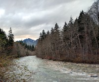
Middle Fork Snoqualmie(jpg)
Google GeoTrack Maps Earth (.kmz) Nearby Pictures
Sat 10/29/16
 |
|
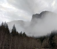
Middle Fork Snoqualmie cloudy hill(jpg)
Google GeoTrack Maps Earth (.kmz) Nearby Pictures
Sat 10/29/16
 |
|
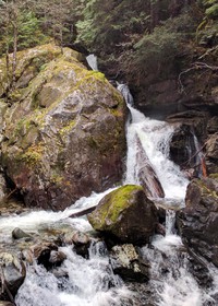
Middle Fork Snoqualmie creek(jpg)
Google GeoTrack Maps Earth (.kmz) Nearby Pictures
Sat 10/29/16
 |
|
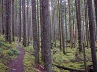
Middle Fork Snoqualmie trees(jpg)
Google GeoTrack Maps Earth (.kmz) Nearby Pictures
Sat 10/29/16
 |
|
Middle Fork Snoqualmie trees(jpg)
Google GeoTrack Maps Earth (.kmz) Nearby Pictures
Sat 10/29/16
 |
|
Gravel Moon(jpg)
Google GeoTrack Maps Earth (.kmz) Nearby Pictures
Wed 10/12/16
 |
|
I crossed that bridge when I came to it(jpg)
Google GeoTrack Maps Earth (.kmz) Nearby Pictures
Wed 10/12/16
 |
|
bright tree dark forest(jpg)
Google GeoTrack Maps Earth (.kmz) Nearby Pictures
Wed 10/12/16
 |
|
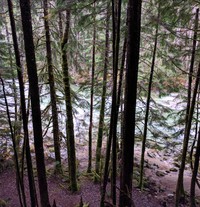
Middle Fork Snoqualmie at Dingfort Creek(jpg)
Google GeoTrack Maps Earth (.kmz) Nearby Pictures
Wed 10/12/16
 |
|
Middle Fork Snoqualmie bridge at Dingford Creek(jpg)
Google GeoTrack Maps Earth (.kmz) Nearby Pictures
Wed 10/12/16
 |
|
Renton tree(jpg)
Google GeoTrack Maps Earth (.kmz) Nearby Pictures
Fri 10/07/16
 |
|
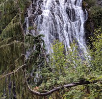
Narada Falls(jpg)
Google GeoTrack Maps Earth (.kmz) Nearby Pictures
Wed 09/21/16
 |
|
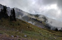
Misty Goats(jpg)
Google GeoTrack Maps Earth (.kmz) Nearby Pictures
Wed 09/21/16
 |
|
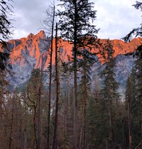
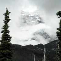
Mt Rainier wall behind the clouds(jpg)
Google GeoTrack Maps Earth (.kmz) Nearby Pictures
Wed 09/21/16