 |
|
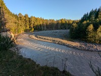
White River(jpg)
Google GeoTrack Maps Earth (.kmz) Nearby Pictures
Wed 09/04/24
 |
|
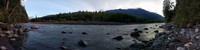
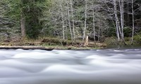
White River at Federation Forest(jpg)
Google GeoTrack Maps Earth (.kmz) Nearby Pictures
Sat 10/06/18
 |
|
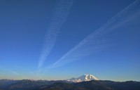
Mt Rainier jet trails(jpg)
Google GeoTrack Maps Earth (.kmz) Nearby Pictures
Mon 05/22/17
 |
|
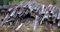
logged log stack(jpg)
Google GeoTrack Maps Earth (.kmz) Nearby Pictures
Sat 11/01/08
 |
|
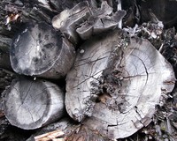
log ends(jpg)
Google GeoTrack Maps Earth (.kmz) Nearby Pictures
Sat 11/01/08
 |
|
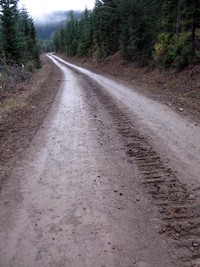
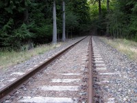
forest road 71311(jpg)
Google GeoTrack Maps Earth (.kmz) Nearby Pictures
Sat 11/01/08
 |
|
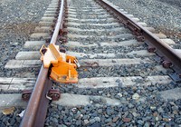
headlight(jpg)
Google GeoTrack Maps Earth (.kmz) Nearby Pictures
Sat 11/01/08
 |
|
White River not white snow(jpg)
Google GeoTrack Maps Earth (.kmz) Nearby Pictures
Sun 09/11/16
 |
|
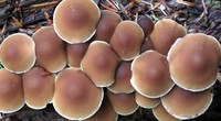
Huckleberry Creek muffins(jpg)
Google GeoTrack Maps Earth (.kmz) Nearby Pictures
Wed 10/14/15
 |
|
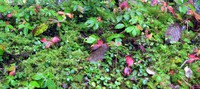
Huckleberry Creek plants(jpg)
Google GeoTrack Maps Earth (.kmz) Nearby Pictures
Wed 10/14/15
 |
|
Suntop Palisades Slide Mountain(jpg)
Google GeoTrack Maps Earth (.kmz) Nearby Pictures
Wed 08/23/23
 |
|
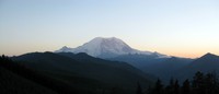
Mt Rainier from northern FS road(jpg)
Google GeoTrack Maps Earth (.kmz) Nearby Pictures
Sat 10/03/15
 |
|
Skookum Falls(jpg)
Google GeoTrack Maps Earth (.kmz) Nearby Pictures
Sun 09/11/16
 |
|
kelly butte(jpg)
Google GeoTrack Maps Earth (.kmz) Nearby Pictures
Sun 11/02/08
 |
|
Mt Rainier from Suntop(jpg)
Google GeoTrack Maps Earth (.kmz) Nearby Pictures
Sat 07/16/16
 |
|
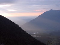
cloudy hills from Suntop(jpg)
Google GeoTrack Maps Earth (.kmz) Nearby Pictures
Sat 07/16/16
 |
|
Suntop Lookout(jpg)
Google GeoTrack Maps Earth (.kmz) Nearby Pictures
Wed 10/14/15
 |
|
the jaws of Rainier(jpg)
Google GeoTrack Maps Earth (.kmz) Nearby Pictures
Fri 08/11/23
 |
|
maybe go up there another time(jpg)
Google GeoTrack Maps Earth (.kmz) Nearby Pictures
Sun 08/21/16
 |
|
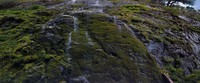
Snoquera Falls in August(jpg)
Google GeoTrack Maps Earth (.kmz) Nearby Pictures
Sun 08/21/16
 |
|
wet and dry rock wall(jpg)
Google GeoTrack Maps Earth (.kmz) Nearby Pictures
Sun 08/21/16
 |
|
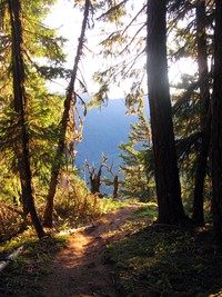
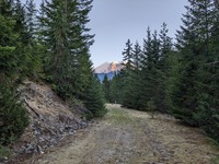
Naches Pass Forest Trail(jpg)
Google GeoTrack Maps Earth (.kmz) Nearby Pictures
Wed 08/17/16
 |
|
Greenwater River watershed(jpg)
Google GeoTrack Maps Earth (.kmz) Nearby Pictures
Wed 06/14/23
 |
|
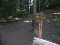
Ranger Creek trail(jpg)
Google GeoTrack Maps Earth (.kmz) Nearby Pictures
Sun 09/09/07
 |
|
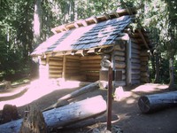
Ranger Creek trail cabin(jpg)
Google GeoTrack Maps Earth (.kmz) Nearby Pictures
Sun 09/09/07
 |
|
water over log video(jpg)
Google GeoTrack Maps Earth (.kmz) Nearby Pictures
Sun 05/16/21
 |
|
water over log video(jpg)
Google GeoTrack Maps Earth (.kmz) Nearby Pictures
Sun 05/16/21
 |
|
Greenwater River trees video(jpg)
Google GeoTrack Maps Earth (.kmz) Nearby Pictures
Sun 05/16/21
 |
|
not the tracks to take(jpg)
Google GeoTrack Maps Earth (.kmz) Nearby Pictures
Sat 08/01/15
 |
|
no go the other way(jpg)
Google GeoTrack Maps Earth (.kmz) Nearby Pictures
Sat 08/01/15
 |
|
rails to nowhere(jpg)
Google GeoTrack Maps Earth (.kmz) Nearby Pictures
Sat 08/01/15
 |
|
Palisades Trail(jpg)
Google GeoTrack Maps Earth (.kmz) Nearby Pictures
Sun 10/05/14
 |
|
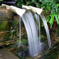
over designed water(jpg)
Google GeoTrack Maps Earth (.kmz) Nearby Pictures
Sat 08/13/11
 |
|
Mt Si and North Bend from above Hall Creek(jpg)
Google GeoTrack Maps Earth (.kmz) Nearby Pictures
Sat 06/11/11
 |
|
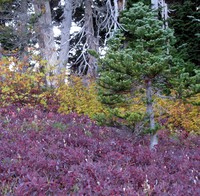
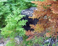
Summit Lake colors(jpg)
Google GeoTrack Maps Earth (.kmz) Nearby Pictures
Wed 09/09/15
 |
|
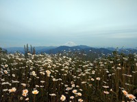
Mt Rainier and daisies from Mt McDonald(jpg)
Google GeoTrack Maps Earth (.kmz) Nearby Pictures
Fri 07/01/16
 |
|
Eleanor Lake trailhead(jpg)
Google GeoTrack Maps Earth (.kmz) Nearby Pictures
Sat 09/12/15
 |
|
Buck Creek crossing Suntop Trail(jpg)
Google GeoTrack Maps Earth (.kmz) Nearby Pictures
Sat 10/24/15
 |
|
trailside tricolor(jpg)
Google GeoTrack Maps Earth (.kmz) Nearby Pictures
Sun 09/02/07
 |
|
Rainier from Pack Trail(jpg)
Google GeoTrack Maps Earth (.kmz) Nearby Pictures
Fri 08/11/23