 |
|
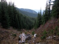
looking down Buck Creek(jpg)
Google GeoTrack Maps Earth (.kmz) Nearby Pictures
Sat 10/24/15
 |
|
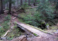
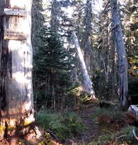
Buck Creek crossing Suntop Trail(jpg)
Google GeoTrack Maps Earth (.kmz) Nearby Pictures
Sat 10/24/15
 |
|
Issaquah tree sunset(jpg)
Google GeoTrack Maps Earth (.kmz) Nearby Pictures
Mon 10/19/15
 |
|
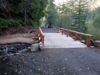
old bridge to nowhere(jpg)
Google GeoTrack Maps Earth (.kmz) Nearby Pictures
Sat 10/17/15
 |
|
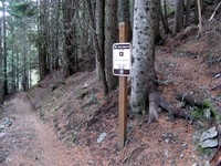
lets go right(jpg)
Google GeoTrack Maps Earth (.kmz) Nearby Pictures
Sat 10/17/15
 |
|
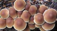
Huckleberry Creek muffins(jpg)
Google GeoTrack Maps Earth (.kmz) Nearby Pictures
Wed 10/14/15
 |
|
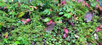
Huckleberry Creek plants(jpg)
Google GeoTrack Maps Earth (.kmz) Nearby Pictures
Wed 10/14/15
 |
|
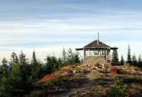
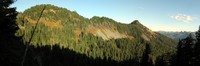
Suntop Lookout(jpg)
Google GeoTrack Maps Earth (.kmz) Nearby Pictures
Wed 10/14/15
 |
|
Chenuis Falls dry water(jpg)
Google GeoTrack Maps Earth (.kmz) Nearby Pictures
Sun 10/04/15
 |
|
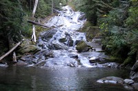
Chenuis Falls(jpg)
Google GeoTrack Maps Earth (.kmz) Nearby Pictures
Sun 10/04/15
 |
|
new bridge on way to Ipsut Creek(jpg)
Google GeoTrack Maps Earth (.kmz) Nearby Pictures
Sun 10/04/15
 |
|
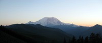
Mt Rainier from northern FS road(jpg)
Google GeoTrack Maps Earth (.kmz) Nearby Pictures
Sat 10/03/15
 |
|
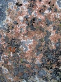
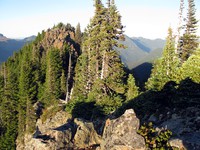
Bearhead Mountain rock pattern(jpg)
Google GeoTrack Maps Earth (.kmz) Nearby Pictures
Wed 09/30/15
Mt Baker from Bearhead Mt(jpg)
Google GeoTrack Maps Earth (.kmz) Nearby Pictures
Wed 09/30/15
 |
|
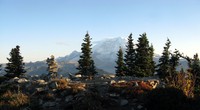
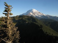
Mt Rainier from Bearhead Mt(jpg)
Google GeoTrack Maps Earth (.kmz) Nearby Pictures
Wed 09/30/15
 |
|
Bearhead Mt to Freemont Skyscraper Burroughs(jpg)
Google GeoTrack Maps Earth (.kmz) Nearby Pictures
Wed 09/30/15
 |
|
Bearhead Mt and Carbon Trail junction(jpg)
Google GeoTrack Maps Earth (.kmz) Nearby Pictures
Wed 09/30/15
 |
|
Mt Rainier from Florence Peak(jpg)
Google GeoTrack Maps Earth (.kmz) Nearby Pictures
Sun 09/27/15
 |
|
top of Florence Peak(jpg)
Google GeoTrack Maps Earth (.kmz) Nearby Pictures
Sun 09/27/15
 |
|
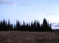
moon over Palisades trees(jpg)
Google GeoTrack Maps Earth (.kmz) Nearby Pictures
Wed 09/23/15