 |
|
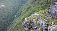
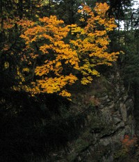
ridge east of Hall Creek from above Change Creek Trail(jpg)
Google GeoTrack Maps Earth (.kmz) Nearby Pictures
Mon 05/30/16
 |
|
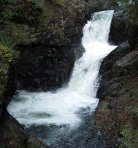
falls on Hall Creek from Change Creek trail(jpg)
Google GeoTrack Maps Earth (.kmz) Nearby Pictures
Mon 05/30/16
 |
|
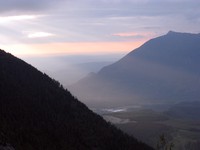
Mt Si and North Bend from above Hall Creek(jpg)
Google GeoTrack Maps Earth (.kmz) Nearby Pictures
Sat 06/11/11
 |
|
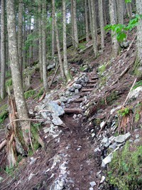
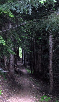
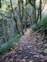
Change Creek Trail(jpg)
Google GeoTrack Maps Earth (.kmz) Nearby Pictures
Mon 05/30/16
 |
|
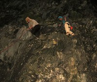
summer and charlie rock climbing(jpg)
Google GeoTrack Maps Earth (.kmz) Nearby Pictures
Sat 10/25/08
 |
|
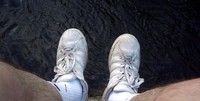
feet over Snoqualmie River(jpg)
Google GeoTrack Maps Earth (.kmz) Nearby Pictures
Sat 07/07/07
 |
|
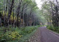
iron horse trail leg(jpg)
Google GeoTrack Maps Earth (.kmz) Nearby Pictures
Sun 05/01/11
 |
|
moss on petrified planking(jpg)
Google GeoTrack Maps Earth (.kmz) Nearby Pictures
Sat 07/07/07
 |
|
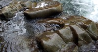
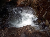
Weeks Falls rocks(jpg)
Google GeoTrack Maps Earth (.kmz) Nearby Pictures
Sat 07/07/07
 |
|
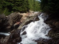
Weeks Falls(jpg)
Google GeoTrack Maps Earth (.kmz) Nearby Pictures
Sat 07/07/07
 |
|
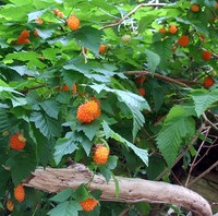
sweet Salmonberries(jpg)
Google GeoTrack Maps Earth (.kmz) Nearby Pictures
Sat 07/07/07
 |
|
Weeks Falls(jpg)
Google GeoTrack Maps Earth (.kmz) Nearby Pictures
Sat 07/07/07
 |
|
Weeks Falls(jpg)
Google GeoTrack Maps Earth (.kmz) Nearby Pictures
Sat 07/07/07
 |
|
Mt Washington trail(jpg)
Google GeoTrack Maps Earth (.kmz) Nearby Pictures
Sun 08/14/11
 |
|
North Bend from Mt Washington(jpg)
Google GeoTrack Maps Earth (.kmz) Nearby Pictures
Sun 08/14/11
 |
|
Mt Washington trailhead(jpg)
Google GeoTrack Maps Earth (.kmz) Nearby Pictures
Sun 08/14/11
 |
|
fall trees(jpg)
Google GeoTrack Maps Earth (.kmz) Nearby Pictures
Sat 10/25/08
 |
|
dirt road fall trees(jpg)
Google GeoTrack Maps Earth (.kmz) Nearby Pictures
Sat 10/25/08
 |
|
fall trees(jpg)
Google GeoTrack Maps Earth (.kmz) Nearby Pictures
Sat 10/25/08
 |
|
upper twin falls trail(jpg)
Google GeoTrack Maps Earth (.kmz) Nearby Pictures
Sat 10/25/08
 |
|
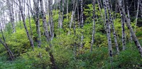
snags in the sky(jpg)
Google GeoTrack Maps Earth (.kmz) Nearby Pictures
Sun 05/01/11
 |
|
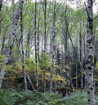
snoqualmie river trees(jpg)
Google GeoTrack Maps Earth (.kmz) Nearby Pictures
Sat 04/30/11
 |
|
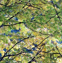
fall leaves still on the tree(jpg)
Google GeoTrack Maps Earth (.kmz) Nearby Pictures
Sat 10/25/08
 |
|
way upper twin falls pan(jpg)
Google GeoTrack Maps Earth (.kmz) Nearby Pictures
Fri 09/02/11
above upper twin falls pan(jpg)
Google GeoTrack Maps Earth (.kmz) Nearby Pictures
Fri 09/02/11
 |
|
fall leaves above the falls(jpg)
Google GeoTrack Maps Earth (.kmz) Nearby Pictures
Sat 10/25/08
 |
|
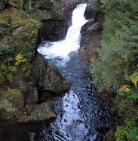
upper twin falls(jpg)
Google GeoTrack Maps Earth (.kmz) Nearby Pictures
Sat 10/25/08
 |
|
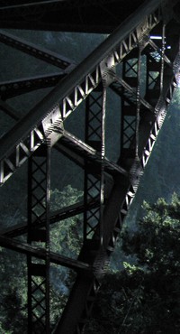
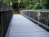
Twin Falls bridge(jpg)
Google GeoTrack Maps Earth (.kmz) Nearby Pictures
Fri 09/02/11
 |
|
upper twin falls(jpg)
Google GeoTrack Maps Earth (.kmz) Nearby Pictures
Sat 10/25/08
 |
|
upper twin falls from the bridge(jpg)
Google GeoTrack Maps Earth (.kmz) Nearby Pictures
Sat 10/25/08
 |
|
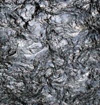
lava water(jpg)
Google GeoTrack Maps Earth (.kmz) Nearby Pictures
Sat 10/25/08
 |
|
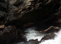
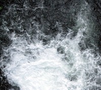
above a water fall(jpg)
Google GeoTrack Maps Earth (.kmz) Nearby Pictures
Sat 10/25/08
 |
|
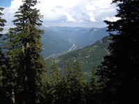
I90 from McClellan Butte trail(jpg)
Google GeoTrack Maps Earth (.kmz) Nearby Pictures
Sun 08/05/07
 |
|
i90 hills at end of day(jpg)
Google GeoTrack Maps Earth (.kmz) Nearby Pictures
Sat 04/30/11
 |
|
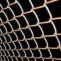
Iron Horse trail fence(jpg)
Google GeoTrack Maps Earth (.kmz) Nearby Pictures
Sun 10/31/10
 |
|
Granite Lake Thompson Lake trail junction(jpg)
Google GeoTrack Maps Earth (.kmz) Nearby Pictures
Sun 08/16/09
 |
|
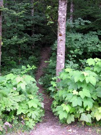
on a path below Mail Box Peak(jpg)
Google GeoTrack Maps Earth (.kmz) Nearby Pictures
Sat 06/25/11
 |
|
me mantus food(jpg)
Google GeoTrack Maps Earth (.kmz) Nearby Pictures
Sun 05/01/11
 |
|
Tacoma water tank(jpg)
Google GeoTrack Maps Earth (.kmz) Nearby Pictures
Sun 07/22/07
 |
|
Mt Rainier from Mail Box Peak(jpg)
Google GeoTrack Maps Earth (.kmz) Nearby Pictures
Tue 06/21/11