 |
|
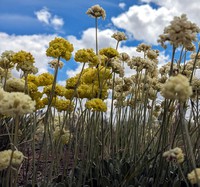
towering flowering(jpg)
Google Maps Earth (.kmz) Nearby Pictures
Tue 06/20/23
 |
|
dotted trees(jpg)
Google GeoTrack Maps Earth (.kmz) Nearby Pictures
Tue 06/20/23
 |
|
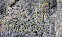
rock pattern(jpg)
Google GeoTrack Maps Earth (.kmz) Nearby Pictures
Tue 06/20/23
 |
|
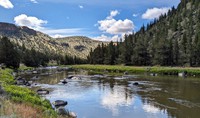
Crooked River(jpg)
Google GeoTrack Maps Earth (.kmz) Nearby Pictures
Tue 06/20/23
 |
|
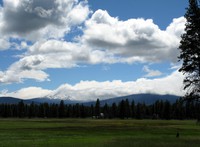
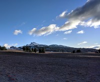
Sister under a cloud(jpg)
Google Maps Earth (.kmz) Nearby Pictures
Fri 07/02/10
 |
|
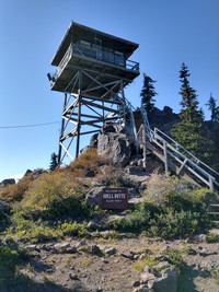
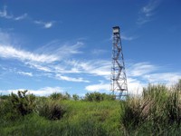
Odell Butte fire station(jpg)
Google GeoTrack Maps Earth (.kmz) Nearby Pictures
Wed 10/06/21
 |
|
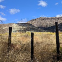
fence along John Day Highway(jpg)
Google GeoTrack Maps Earth (.kmz) Nearby Pictures
Tue 09/24/19
 |
|
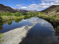
North Fork John Day River(jpg)
Google GeoTrack Maps Earth (.kmz) Nearby Pictures
Tue 09/24/19
 |
|
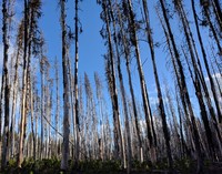
tall trees(jpg)
Google GeoTrack Maps Earth (.kmz) Nearby Pictures
Wed 10/06/21
 |
|
trees on hill along John Day Burns highway(jpg)
Google GeoTrack Maps Earth (.kmz) Nearby Pictures
Tue 09/24/19
 |
|
trees on hill along John Day Burns highway(jpg)
Google GeoTrack Maps Earth (.kmz) Nearby Pictures
Tue 09/24/19
 |
|
Lake Abert sunset(jpg)
Google GeoTrack Maps Earth (.kmz) Nearby Pictures
Sat 10/05/19
 |
|
moon east of Lake Abert(jpg)
Google GeoTrack Maps Earth (.kmz) Nearby Pictures
Sat 10/05/19
 |
|
madcro max line(jpg)
Google Maps Earth (.kmz) Nearby Pictures
Thu 09/11/08
 |
|
looking up Mount Mazama(jpg)
Google GeoTrack Maps Earth (.kmz) Nearby Pictures
Wed 10/06/21
 |
|
thin ice(jpg)
Google GeoTrack Maps Earth (.kmz) Nearby Pictures
Wed 10/06/21
looking north from Mount Mazama(jpg)
Google GeoTrack Maps Earth (.kmz) Nearby Pictures
Wed 10/06/21
 |
|
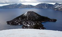
Wizard Island(jpg)
Google GeoTrack Maps Earth (.kmz) Nearby Pictures
Thu 07/01/10
 |
|
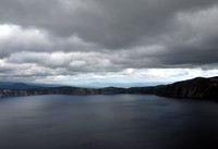
Crater Lake under dark sky(jpg)
Google GeoTrack Maps Earth (.kmz) Nearby Pictures
Thu 07/01/10
 |
|
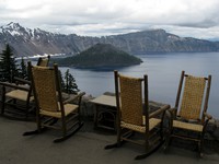
chairs at Crater Lake(jpg)
Google GeoTrack Maps Earth (.kmz) Nearby Pictures
Thu 07/01/10
 |
|
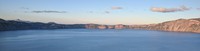
wide Crater Lake(jpg)
Google GeoTrack Maps Earth (.kmz) Nearby Pictures
Wed 10/06/21
 |
|
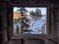
Crater Lake Sinnott Overlook window(jpg)
Google GeoTrack Maps Earth (.kmz) Nearby Pictures
Wed 10/06/21
 |
|
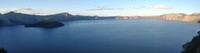
wide Crater Lake(jpg)
Google GeoTrack Maps Earth (.kmz) Nearby Pictures
Wed 10/06/21
 |
|
darkness comes(jpg)
Google GeoTrack Maps Earth (.kmz) Nearby Pictures
Wed 10/06/21
 |
|
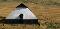
K Falls barn(jpg)
Google GeoTrack Maps Earth (.kmz) Nearby Pictures
Tue 06/09/15
 |
|
eastern Oregon(jpg)
Google Maps Earth (.kmz) Nearby Pictures
Thu 06/11/15
 |
|
Mt Jefferson beyond Kalamath Lake(jpg)
Google Maps Earth (.kmz) Nearby Pictures
Tue 06/09/15
 |
|
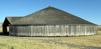
round barn(jpg)
Google Maps Earth (.kmz) Nearby Pictures
Thu 09/11/08
 |
|
closed(jpg)
Google Maps Earth (.kmz) Nearby Pictures
Wed 06/10/15
 |
|
silver barn(jpg)
Google GeoTrack Maps Earth (.kmz) Nearby Pictures
Sat 08/08/09
 |
|
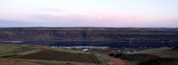
eastern gorge(jpg)
Google GeoTrack Maps Earth (.kmz) Nearby Pictures
Wed 04/14/21
 |
|
Gorge from above McCall Point(jpg)
Google GeoTrack Maps Earth (.kmz) Nearby Pictures
Sun 09/18/16
 |
|
Devils Churn(jpg)
Google GeoTrack Maps Earth (.kmz) Nearby Pictures
Fri 11/06/20
 |
|
bridge over calm waters(jpg)
Google GeoTrack Maps Earth (.kmz) Nearby Pictures
Wed 10/16/24
 |
|
complicated tree(jpg)
Google Maps Earth (.kmz) Nearby Pictures
Tue 06/20/23
 |
|
Snake River below Brownlee Dam 01 over time(jpg)
Google GeoTrack Maps Earth (.kmz) Nearby Pictures
Tue 04/27/21
 |
|
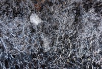
Saddle Mt lichen(jpg)
Google GeoTrack Maps Earth (.kmz) Nearby Pictures
Sun 06/07/15
Beacon Rock trail(jpg)
Google GeoTrack Maps Earth (.kmz) Nearby Pictures
Thu 06/11/15
 |
|
wheat field eastern washington(jpg)
Google Maps Earth (.kmz) Nearby Pictures
Sun 06/14/15
Mt Ashland clouds(jpg)
Google GeoTrack Maps Earth (.kmz) Nearby Pictures
Fri 11/04/22