 |
|
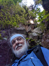
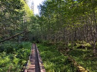
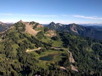
maybe go up there another time(jpg)
Google GeoTrack Maps Earth (.kmz) Nearby Pictures
Sun 08/21/16
 |
|
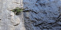
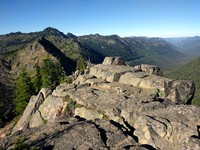
wet and dry rock wall(jpg)
Google GeoTrack Maps Earth (.kmz) Nearby Pictures
Sun 08/21/16
 |
|
Snoquera Falls in August(jpg)
Google GeoTrack Maps Earth (.kmz) Nearby Pictures
Sun 08/21/16
 |
|
Echo Lake pano(jpg)
Google GeoTrack Maps Earth (.kmz) Nearby Pictures
Wed 08/17/16
 |
|
Echo Lake and Maggie Creek trail junction(jpg)
Google GeoTrack Maps Earth (.kmz) Nearby Pictures
Wed 08/17/16
 |
|
Echo and Lost Lake trail junction(jpg)
Google GeoTrack Maps Earth (.kmz) Nearby Pictures
Wed 08/17/16
 |
|
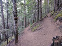
Echo and Lost Lakes trail(jpg)
Google GeoTrack Maps Earth (.kmz) Nearby Pictures
Wed 08/17/16
 |
|
a vista to reflect on(jpg)
Google GeoTrack Maps Earth (.kmz) Nearby Pictures
Wed 08/17/16
 |
|
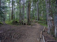
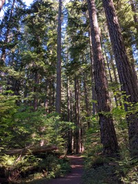
Naches Pass Forest Trail(jpg)
Google GeoTrack Maps Earth (.kmz) Nearby Pictures
Wed 08/17/16
 |
|
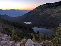
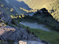
Deadwood Lakes(jpg)
Google GeoTrack Maps Earth (.kmz) Nearby Pictures
Tue 08/16/16
 |
|
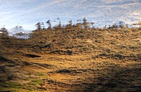
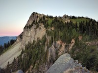
no name hill from the approachable side(jpg)
Google GeoTrack Maps Earth (.kmz) Nearby Pictures
Tue 08/16/16
 |
|
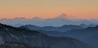
Mt Adams from above Chinook Pass(jpg)
Google GeoTrack Maps Earth (.kmz) Nearby Pictures
Tue 08/16/16
 |
|
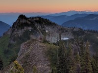
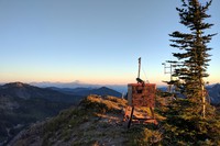
no name hill weather station in front of Yakima Peak at sunset(jpg)
Google GeoTrack Maps Earth (.kmz) Nearby Pictures
Tue 08/16/16
 |
|
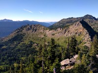
the world from no name hill(jpg)
Google GeoTrack Maps Earth (.kmz) Nearby Pictures
Tue 08/16/16
 |
|
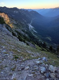
highway 410 from no name hill(jpg)
Google GeoTrack Maps Earth (.kmz) Nearby Pictures
Tue 08/16/16
 |
|
whats the weather from false no name hill(jpg)
Google GeoTrack Maps Earth (.kmz) Nearby Pictures
Tue 08/16/16
 |
|
parking lot from Yakima Peak(jpg)
Google GeoTrack Maps Earth (.kmz) Nearby Pictures
Tue 08/16/16
 |
|
no name hill from Yakima Peak(jpg)
Google GeoTrack Maps Earth (.kmz) Nearby Pictures
Tue 08/16/16
 |
|
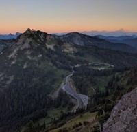
Tipsoo Lake and Naches Peak from Yakima Peak(jpg)
Google GeoTrack Maps Earth (.kmz) Nearby Pictures
Tue 08/16/16
 |
|
top of Yakima Peak(jpg)
Google GeoTrack Maps Earth (.kmz) Nearby Pictures
Tue 08/16/16