 |
|
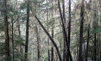
sun in mossy trees(jpg)
Google GeoTrack Maps Earth (.kmz) Nearby Pictures
Sun 08/24/14
 |
|
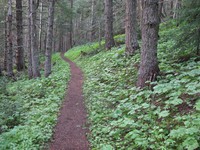
Crystal Peak trail(jpg)
Google GeoTrack Maps Earth (.kmz) Nearby Pictures
Sun 08/24/14
 |
|
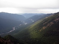
north along White River from Crystal Peak(jpg)
Google GeoTrack Maps Earth (.kmz) Nearby Pictures
Sun 08/24/14
 |
|
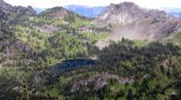
Upper Crystal Lake from Peak(jpg)
Google GeoTrack Maps Earth (.kmz) Nearby Pictures
Sun 08/24/14
 |
|
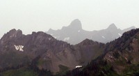
far hills from Crystal Peak trail(jpg)
Google GeoTrack Maps Earth (.kmz) Nearby Pictures
Sun 08/24/14
 |
|
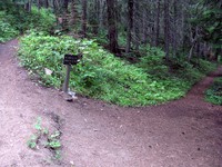
Crystal Lake Peak trail split(jpg)
Google GeoTrack Maps Earth (.kmz) Nearby Pictures
Sun 08/24/14
 |
|
Annette Lake alien(jpg)
Google GeoTrack Maps Earth (.kmz) Nearby Pictures
Sat 08/23/14
 |
|
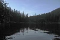
Annette Lake(jpg)
Google GeoTrack Maps Earth (.kmz) Nearby Pictures
Sat 08/23/14
 |
|
Scott Zizi Summer Zoey(jpg)
Google GeoTrack Maps Earth (.kmz) Nearby Pictures
Fri 08/22/14
 |
|
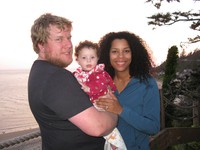
Imani Alex Summer Zizi Scott Heather Zoey(jpg)
Google GeoTrack Maps Earth (.kmz) Nearby Pictures
Fri 08/22/14
 |
|
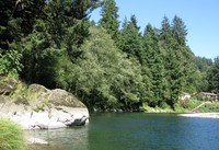
Wilson River Blue Hole(jpg)
Google GeoTrack Maps Earth (.kmz) Nearby Pictures
Sun 08/17/14
 |
|
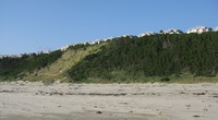
Oceanside dead end(jpg)
Google GeoTrack Maps Earth (.kmz) Nearby Pictures
Sun 08/17/14
 |
|
Shawn Zoey Heather Netarts sunset flash(jpg)
Sat 08/16/14
 |
|
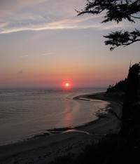
Netarts sunset(jpg)
Sat 08/16/14
 |
|
Netarts days end(jpg)
Sat 08/16/14
 |
|
Netarts sea attack(jpg)
Google GeoTrack Maps Earth (.kmz) Nearby Pictures
Sat 08/16/14
 |
|
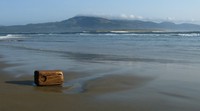
drift block at Netarts(jpg)
Google GeoTrack Maps Earth (.kmz) Nearby Pictures
Sat 08/16/14
 |
|
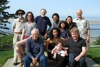
Robinsons at Netarts(jpg)
Sat 08/16/14
 |
|
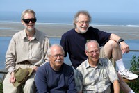
Eric Alex Tom Andy at Netarts(jpg)
Sat 08/16/14
 |
|
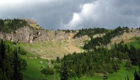
Naches Peak(jpg)
Google GeoTrack Maps Earth (.kmz) Nearby Pictures
Sun 08/03/14